Expertise

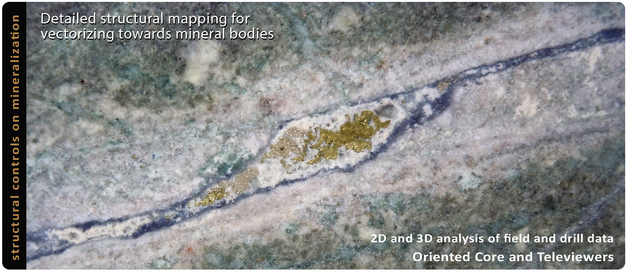
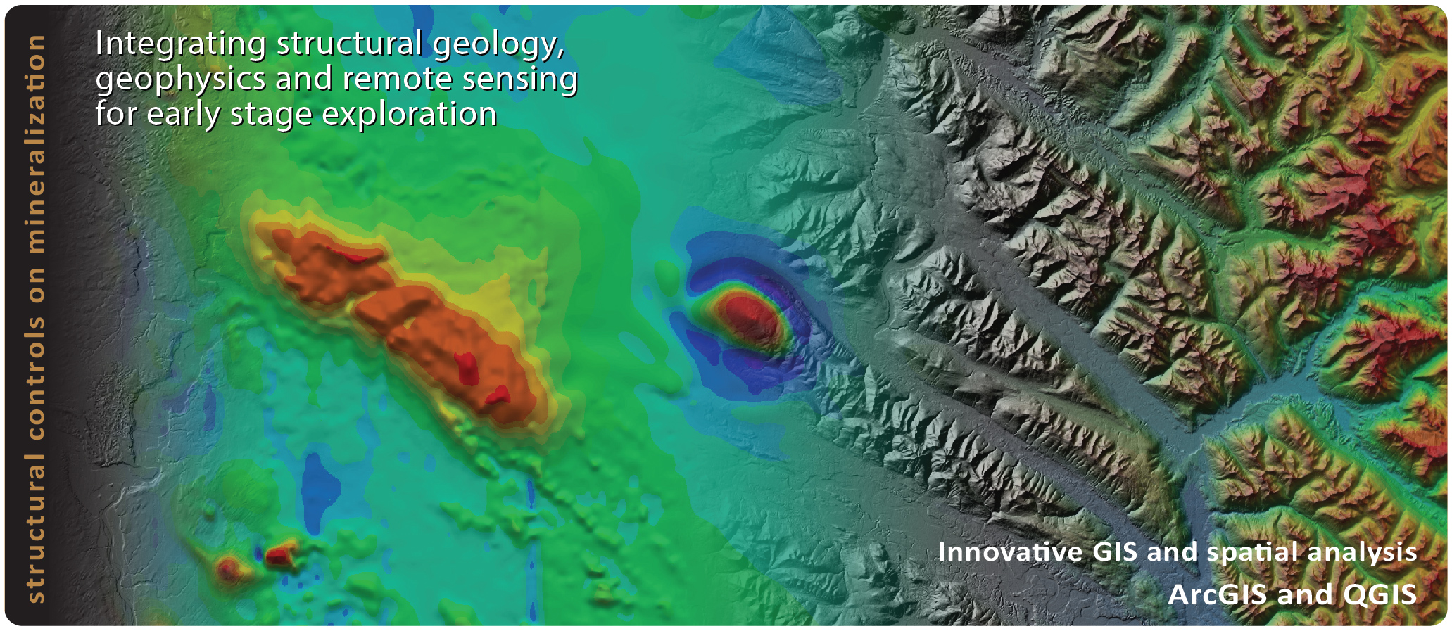
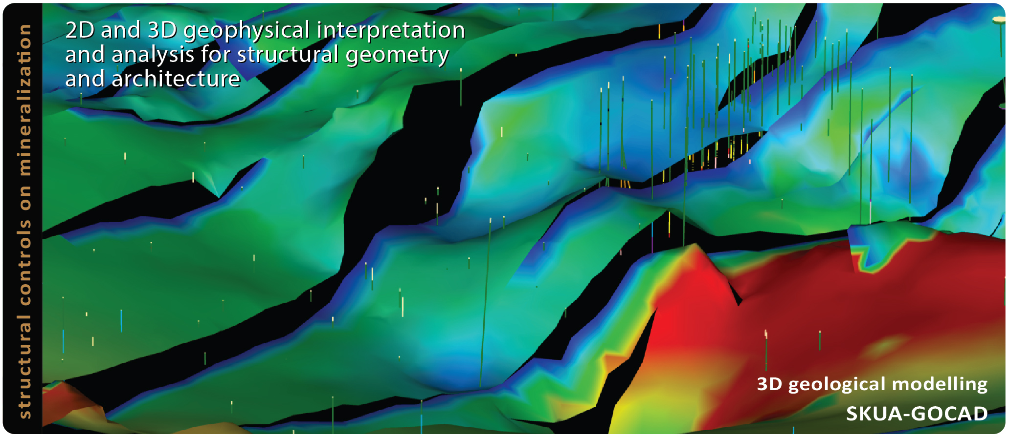
We are a consultancy company with expertise in 2D and 3D interpretation and analysis of structural geology, geophysics and remote sensing for early-stage exploration of ore deposits. From field mapping to modelling complex 3D structures, we provide innovative geoscience that significantly improves the foundation of exploration targeting and decision-making.

Strategy

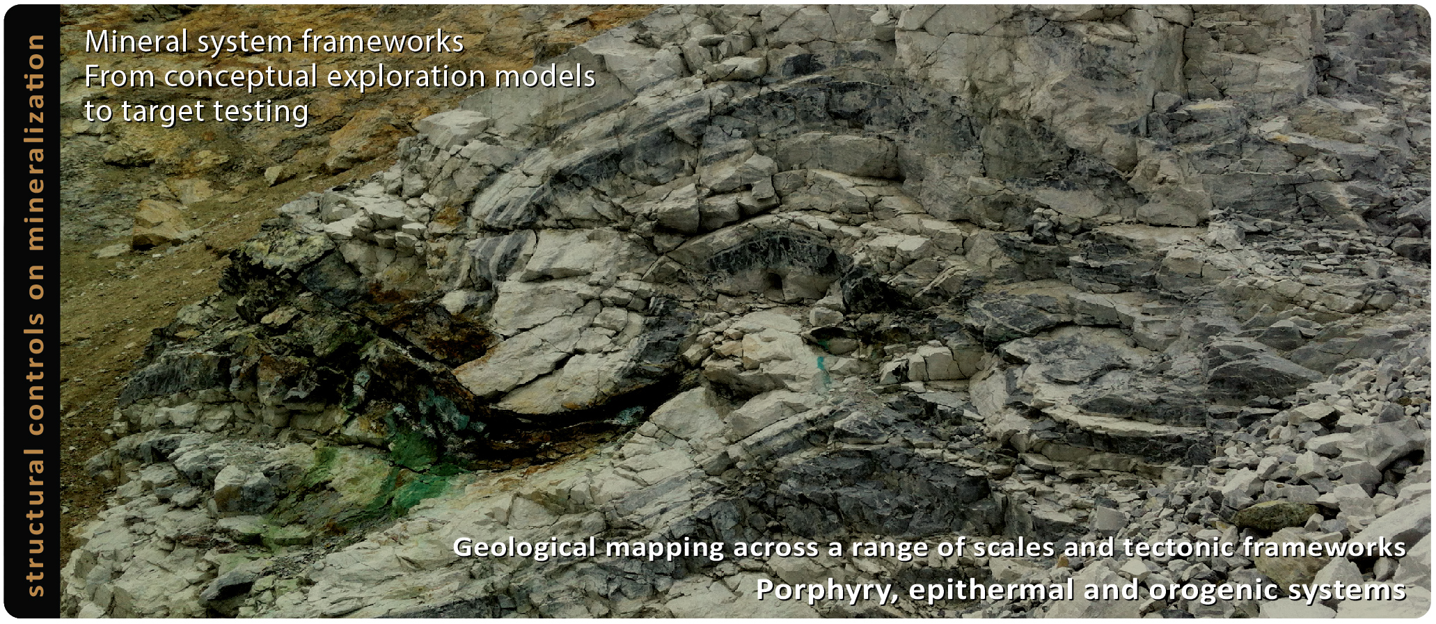
We utilize a mineral systems frameworks approach across a range of scales to understand the architecture of metallogenic belts and structural arrays delineating mineralization. From conceptual exploration models to target testing, we offer an integrated structural, geological and geophysical groundwork that focus on geodynamics and tectonics for discovery.

Services

Structural field mapping and analysis - Satellite image and DEM interpretation - Magnetic, gravity, geoelectrical and electromagnetic data interpretation - Oriented core and Televiewer data analysis - GIS spatial analysis - 3D geological and structural modelling - Seismic reflection data interpretation - Cross section balancing and restoration.

Latest News & Events

November 20, 2024

Structural Geology and GIS for Discovery / Jan 23-26, 2025 (3.5 days), Vancouver

This course is designed for explorers seeking an integrated approach to structural geology and GIS for the 2D and 3D vectorization of mineral deposits. Updated with practical QGIS workflows for target generation and applied structural geology exercises, it incorporates insights gained from annual delivery since 2019. Registrations at https://klsgeo.com/SC75.htm
January 24, 2024

Structural Geology and GIS for Discovery / Jan 25-27 2024

A course for explorers that seek an integrated approach to structural geology and GIS for the 2D and 3D vectorization of mineral deposits. The course includes daily practical sessions on GIS, digital mapping and stereographic techniques for structural interpretation and analysis. Registrations at https://klsgeo.com/SC66.htm
December 19, 2022

KLS – SC58: Structural Geology and GIS for Discovery / 26-28 January 2023

A 3-day course for explorers that seek an integrated approach to structural geology and GIS for the 2D and 3D vectorization of mineral deposits. The course includes daily practical sessions on GIS, digital mapping and stereographic techniques for structural interpretation and analysis. Registrations at https://klsgeo.com/SC58.htm